2017-08-05 Courmayeur-Champex-Vallorcine 05/08/17

Démarrer diaporama
2017-08-05 · 06:54 · Courmayeur-Champex-Vallorcine Courmayeur · Alpes, Massif du Mont-Blanc, IT · GPS 45°47'30.70'' N 6°58'21.28'' E · Altitude 1220m
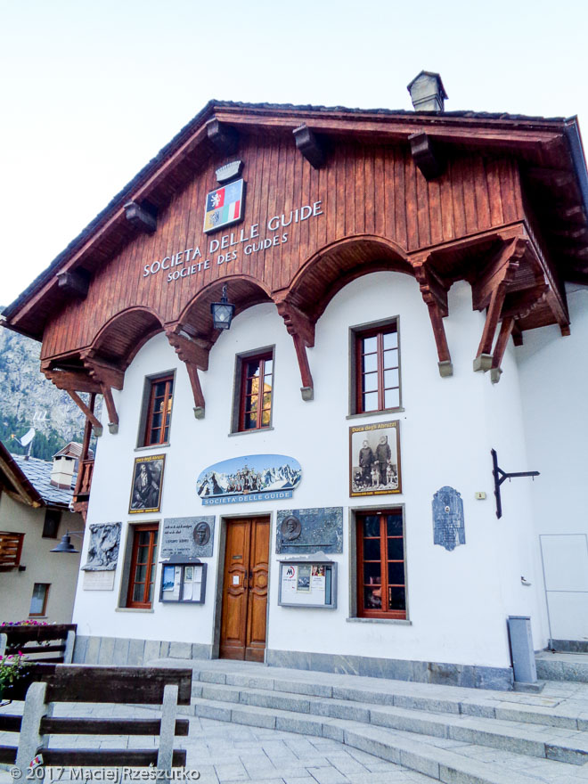
12017-08-05 · 06:54 · Courmayeur-Champex-Vallorcine
Courmayeur · Alpes, Massif du Mont-Blanc, IT · GPS 45°47'30.70'' N 6°58'21.28'' E · Altitude 1220m
2017-08-05 · 07:47 · Courmayeur-Champex-Vallorcine Refuge Bertone · Alpes, Massif du Mont-Blanc, IT · GPS 45°48'31.81'' N 6°58'41.94'' E · Altitude 1989m
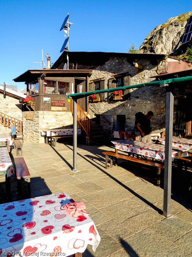
22017-08-05 · 07:47 · Courmayeur-Champex-Vallorcine
Refuge Bertone · Alpes, Massif du Mont-Blanc, IT · GPS 45°48'31.81'' N 6°58'41.94'' E · Altitude 1989m
2017-08-05 · 07:47 · Courmayeur-Champex-Vallorcine Refuge Bertone · Alpes, Massif du Mont-Blanc, IT · GPS 45°48'31.79'' N 6°58'41.85'' E · Altitude 1989m
32017-08-05 · 07:47 · Courmayeur-Champex-Vallorcine
Refuge Bertone · Alpes, Massif du Mont-Blanc, IT · GPS 45°48'31.79'' N 6°58'41.85'' E · Altitude 1989m
2017-08-05 · 07:56 · Courmayeur-Champex-Vallorcine Refuge Bertone · Alpes, Massif du Mont-Blanc, IT · GPS 45°48'37.33'' N 6°58'46.48'' E · Altitude 2048m
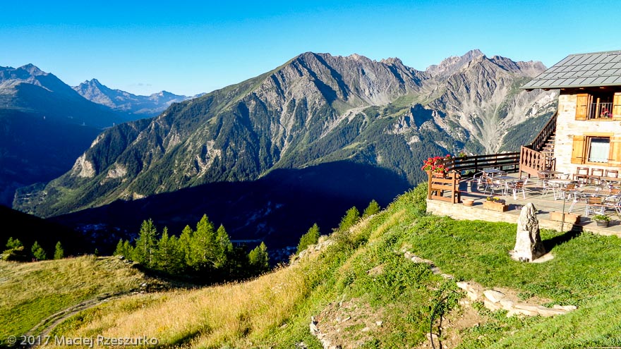
42017-08-05 · 07:56 · Courmayeur-Champex-Vallorcine
Refuge Bertone · Alpes, Massif du Mont-Blanc, IT · GPS 45°48'37.33'' N 6°58'46.48'' E · Altitude 2048m
2017-08-05 · 07:56 · Courmayeur-Champex-Vallorcine Refuge Bertone · Alpes, Massif du Mont-Blanc, IT · GPS 45°48'37.35'' N 6°58'46.50'' E · Altitude 2048m
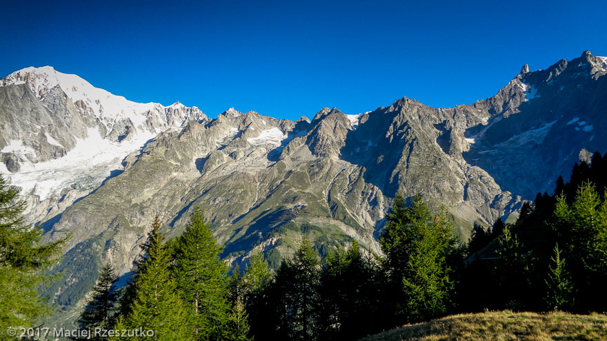
52017-08-05 · 07:56 · Courmayeur-Champex-Vallorcine
Refuge Bertone · Alpes, Massif du Mont-Blanc, IT · GPS 45°48'37.35'' N 6°58'46.50'' E · Altitude 2048m
2017-08-05 · 07:56 · Courmayeur-Champex-Vallorcine Refuge Bertone · Alpes, Massif du Mont-Blanc, IT · GPS 45°48'37.34'' N 6°58'46.54'' E · Altitude 2048m
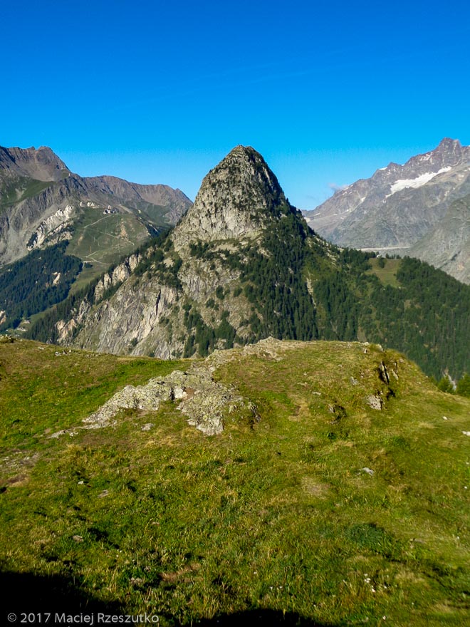
62017-08-05 · 07:56 · Courmayeur-Champex-Vallorcine
Refuge Bertone · Alpes, Massif du Mont-Blanc, IT · GPS 45°48'37.34'' N 6°58'46.54'' E · Altitude 2048m

Labels

New images